Introduction to GIS Data Acquisition
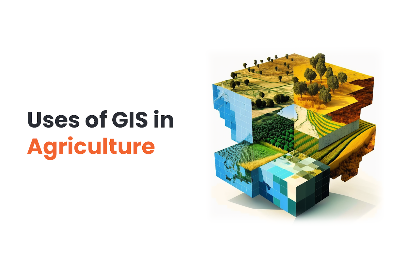
Geographic Information Systems (GIS) have become essential tools for analyzing and visualizing spatial data. In this blog, we will explore the process of GIS data acquisition and processing. GIS data acquisition involves gathering geospatial data from various sources, while processing entails preparing and analyzing this data to create meaningful insights and maps.

1. Data Collection and Sources
The first step in GIS data acquisition is collecting relevant data from various sources. Common sources include:
- Aerial Imagery: Obtained from satellites, drones, or aircraft, providing high-resolution images of the Earth’s surface.
- GPS Surveys: Directly collecting location data using Global Positioning System (GPS) devices.
- Remote Sensing: Gathering data from sensors on satellites or aircraft to study the Earth’s surface from a distance.
- Public Data: Accessing publicly available datasets from government agencies, academic institutions, and other organizations.
2. Data Conversion and Integration
GIS data often comes in different formats, such as shapefiles, raster data, or tabular data. During this step, data from various sources is converted into a standardized format compatible with the GIS software. Integration involves merging datasets to create a comprehensive geospatial database.
3. Data Preprocessing and Cleaning
Before analysis, data must undergo preprocessing and cleaning to ensure accuracy and consistency. This step involves removing duplicates, filling in missing values, and addressing any data inconsistencies.
4. Georeferencing
Georeferencing involves assigning geographic coordinates (latitude and longitude) to spatial data that lack such information. This process ensures data alignment with other layers in the GIS.
5. Spatial Analysis
Spatial analysis is a crucial aspect of GIS processing. It involves applying various analytical techniques to derive meaningful insights from the geospatial data. Common spatial analysis methods include proximity analysis, overlay analysis, and network analysis.
6. Attribute Data Analysis
In addition to spatial analysis, GIS data processing includes attribute data analysis. This involves analyzing the non-spatial attributes associated with geographic features. Statistical methods, such as data aggregation and classification, are often used in this stage.
7. Visualization and Cartography
Visualization is a key component of GIS. Creating maps and visual representations of data helps in better understanding and communication of the information. Cartography involves designing visually appealing and informative maps.
8. Quality Assurance
Quality assurance ensures the accuracy and reliability of the GIS data. During this stage, data is thoroughly reviewed, and any discrepancies are resolved.
9. Data Presentation and Interpretation
After processing and analysis, the final results are presented in the form of maps, charts, and reports. Interpretation of the findings helps in making informed decisions and gaining valuable insights.
Conclusion
The process of GIS data acquisition and processing is a complex yet rewarding endeavor. By gathering data from various sources, converting, integrating, and analyzing it, GIS professionals can create valuable information for decision-making, planning, and research purposes.

